Active filters
Aucun filtre actif.
\{\{ ctx.nhits | number \}\}
record
Filtres
Description
-
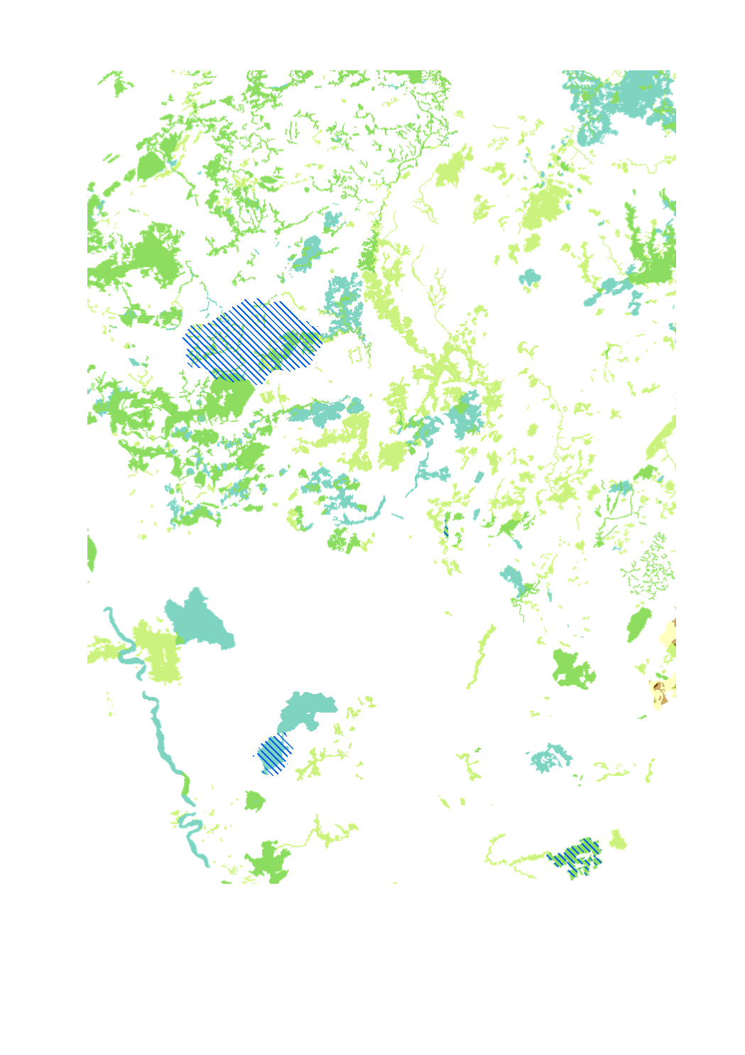
Sites Ramsar
-
Oberes Mittelrheintal
-
Zones Natura 2000
-
Réserves de biosphère
-
Sources des données: LVGL Saarland; PNR des Vosges du Nord - SYCOPARC; Ramsar Convention Secretariat; Struktur- und Genehmigungsdirektion Nord. Harmonisation: SIG-GR / GIS-GR 2016
Limites techniques d'usage
Aucune limite technique d'usage des données renseignée
Informations géographiques
Type de représentation: non renseignée
Etendue géographique:
- Ouest: 2.84
- Est: 8.68
- Sud: 47.75
- Nord: 51.04
Système de projection: http://www.opengis.net/def/crs/EPSG/0/3857
Echelle: 1/250000
Résolution: non renseignée
Mots clefs
EnvironnementEnvironnement Protection de la natureGrande Régiongis-gr.eunature environnement protection
Synthèse
Mise à jour quand nécessaire
Publié le
\{\{'2018-11-20T00:00:00' | formatMeta:'date' \}\}
Thèmes
Contacts
SIG-GR - Ministère de l'Energie et de l'Aménagement du territoire - Département de l'aménagement du territoire
4, Place de l'Europe
1499 Luxembourg
Dataset schema
JSON Schema
The following JSON object is a standardized description of your dataset's schema. More about JSON schema.
Exports géographiques
-
WMS GR/International_protected_natural_areas_2015/Biosphere_reserves - http://wms.gis-gr.eu/service Consulter
-
WMS GR/International_protected_natural_areas_2015/Natura_2000_Birds_directive - http://wms.gis-gr.eu/service Consulter
-
WMS GR/International_protected_natural_areas_2015/Natura_2000_Birds_habitats_directives - http://wms.gis-gr.eu/service Consulter
-
WMS GR/International_protected_natural_areas_2015/Natura_2000_habitats_directive - http://wms.gis-gr.eu/service Consulter
-
WMS GR/International_protected_natural_areas_2015/Ramsar_sites - http://wms.gis-gr.eu/service Consulter
-
WMS GR/International_protected_natural_areas_2015/Unesco_world_heritage_upper_middle_rhine_valley - http://wms.gis-gr.eu/service Consulter
API Cartographiques
WMS
Flux cartographique WMS
http://wms.gis-gr.eu/service?service=WMS&version=1.3.0&request=getCapabilities
Couche: GR/International_protected_natural_areas_2015/Biosphere_reserves
WMS
Flux cartographique WMS
http://wms.gis-gr.eu/service?service=WMS&version=1.3.0&request=getCapabilities
Couche: GR/International_protected_natural_areas_2015/Natura_2000_Birds_directive
WMS
Flux cartographique WMS
http://wms.gis-gr.eu/service?service=WMS&version=1.3.0&request=getCapabilities
Couche: GR/International_protected_natural_areas_2015/Natura_2000_Birds_habitats_directives
WMS
Flux cartographique WMS
http://wms.gis-gr.eu/service?service=WMS&version=1.3.0&request=getCapabilities
Couche: GR/International_protected_natural_areas_2015/Natura_2000_habitats_directive
WMS
Flux cartographique WMS
http://wms.gis-gr.eu/service?service=WMS&version=1.3.0&request=getCapabilities
Couche: GR/International_protected_natural_areas_2015/Ramsar_sites
WMS
Flux cartographique WMS
http://wms.gis-gr.eu/service?service=WMS&version=1.3.0&request=getCapabilities
Couche: GR/International_protected_natural_areas_2015/Unesco_world_heritage_upper_middle_rhine_valley